

No day hike is more Lake Tahoe than the Rubicon Trail.
I hadn’t hiked this since I was a kid when my family would make frequent trips to Tahoe while living in the SF Bay Area. Revisiting it now has made me realize just how much I took it for granted.
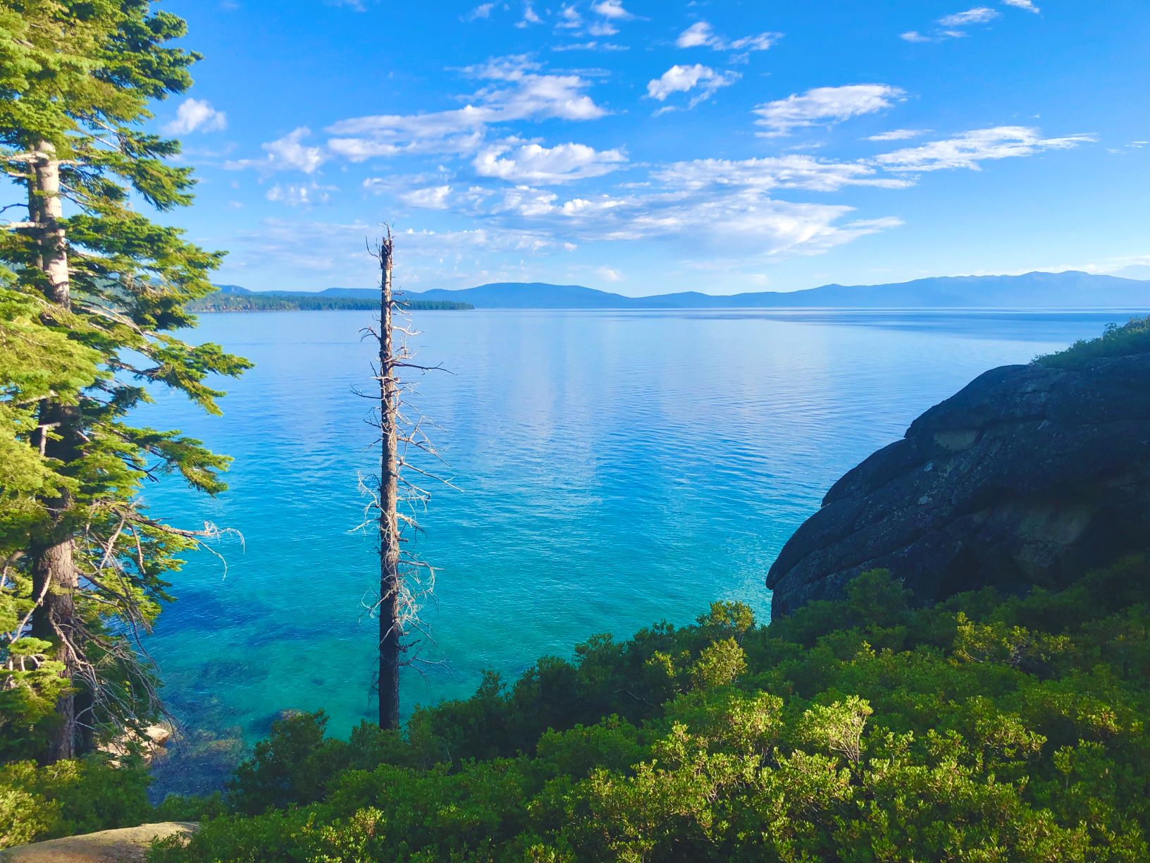
Starting at DL Bliss State Park near Rubicon Point, there was already a view of Lake Tahoe and this rarely changed for the length of the trail. It heads south along Tahoe’s western shore, ascending into the surrounding mountainsides that hug the lake. Beautiful rock formations stand in the midst of deep green pine with azure and turquoise waters shimmering below.

The trail then meanders southeast, away from the shore and becomes a soft carpet of fine dirt and pine needles.
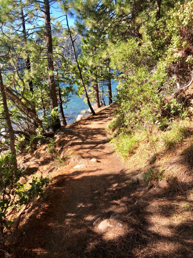
As we walked, the air was warm with the vanilla-cream scent of Jeffrey pine and the forest was dead quiet until we were met by a soft breeze when the lake reemerged into view.
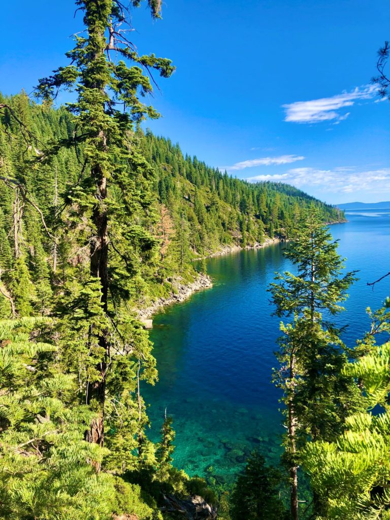
The trail then continues above the shore and across Eagle Point as it descends to meet the water at the mouth of Emerald Bay. The water was clear as glass at the shore – it even tempted me to drink. The quietness of the trail quickly turned lively as it wandered through campgrounds and docks where families played on the beach and braved the chilling water.
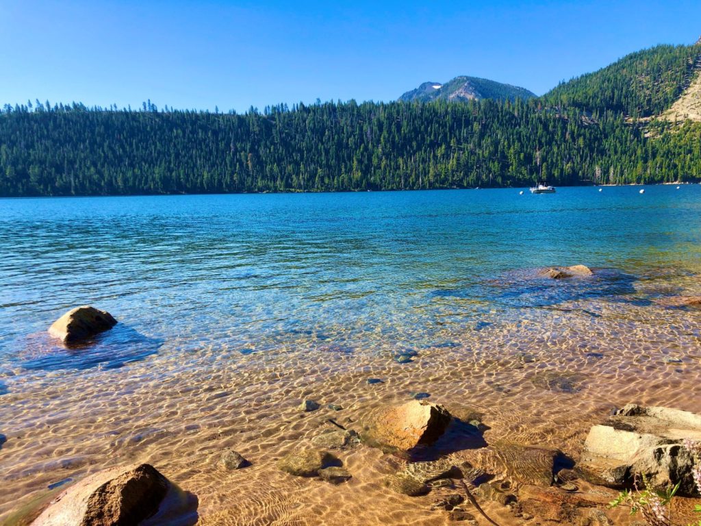
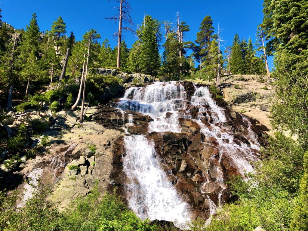
Arriving at Vikingsholm we took a detour to Eagle Falls before continuing around Emerald bay to the trail’s southern terminus. We then pushed on to Eagle Point where we enjoyed a spectacular view of Tahoe and a picnic table to eat a well-earned lunch.
Going back the way we came felt like experiencing it for the first time all over again. We dipped in Emerald Bay as the day’s heat came to a peak before wrapping up our remaining miles at DL Bliss.
Summary:
The Rubicon Trail is an absolute must for anyone visiting Tahoe outside of winter. It offers spectacular views of the lake and takes you past Eagle Falls and Vikingsholm. At Vikingsholm you can find picnic tables and restrooms for a lunch break. You will also find these same amenities if you continue on to Eagle Point. Try to start this one early to avoid heavier foot traffic as the day goes on. I recommend downloading the AllTrails app where you can log your hike and find specific directions to the trailhead.
Distance: ~16 Miles (round trip). This included detours to Eagle Falls and Eagle Point.
Difficulty: Moderate. The length of this trail may be difficult for some. There are a couple steep descents/ascents, but nothing too severe.
Time: ~6.5 Hours. This included detours, a lunch break, and a swimming break. If time is a concern, this trail could be completed in under 5.5 hours, but I recommend taking the time you need to truly enjoy it.

— Kris


Leave a Comment